Maps
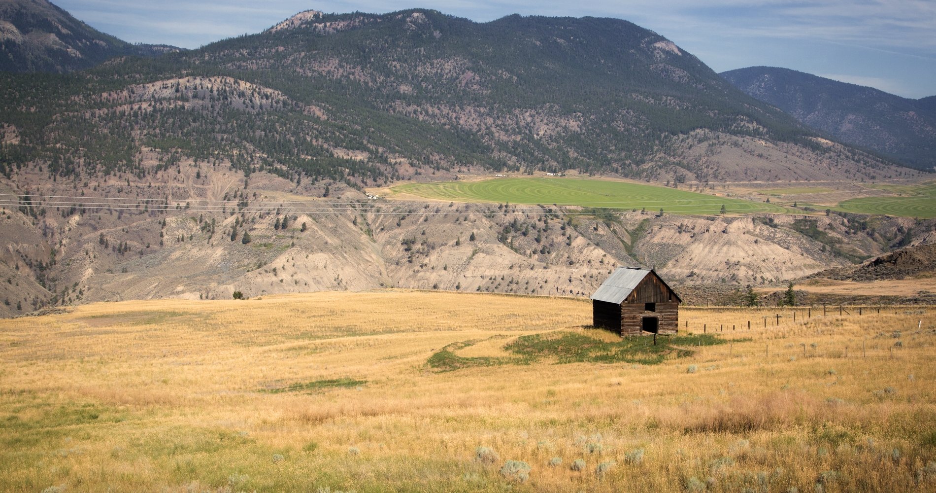
Meadow and grassland near Clinton. Credit Destination BC/Robin Ryan

Cariboo Wagon Road and the Gold Rush Trail

3 to 7 days, 472.86 km (293.82 mi)

Discover BC’s gold rush past on this road trip from Lillooet to Barkerville.

Share  Facebook Twitter pinterest logoPinterest

Part 1

Lillooet to Clinton

Lillooet | Michael Bednar

Start the journey in Lillooet, Mile “0” of the 1860s Cariboo Wagon Road. Have a photo taken at the Mile “0” cairn on Main Street then stop by the Miyazaki Heritage House, built by one of Lillooet’s first settlers. Visit the Lillooet Museum for the history of the town.

Take Highway 99 to Clinton, and stop at Marble Canyon Provincial Park. This beautiful canyon features spectacular limestone cliffs. Take a picnic at the park’s Turquoise Lake and see the nearby cascading waterfall. At the junction of Highway 99 and Highway 97 is historic Hat Creek Ranch, which was a working ranch during the 1860s. Today, learn about its history, hear tales of ghost stories, and ride on an original stagecoach.

Optional: On the way to Clinton, take Loon Lake Road off Highway 97 for a fishing break at, you guessed it: Loon Lake.

Part 2

Clinton to 100 Mile House

Bighorn Sheep | Kari Medig

Stop in the village of Clinton and visit the local museum, built in 1892 from hand-made bricks. Located just north of Clinton is Chasm Provincial Park (commonly referred to as a the “mini-Grand Canyon”). Rich shades of red, brown, yellow, and purple are on display along the canyon walls, a result of successive lava flows over the past 10 million years. There are also plenty of wildlife viewing opportunities here—bighorn sheep, moose, and mule deer are often spotted.

Stay in 100 Mile House and explore the 8-hectare (19-acre) 100 Mile Marsh Wildlife Sanctuary to view gulls, swans, ducks, and blackbirds, or see an original Barnard Express BX Stage Coach. Stroll through Centennial Park, visit Bridge Creek Falls, or take in the Cariboo Mountains from the Mt. Begbie Lookout Tower. Stop by the 100 Mile House Visitor Centre to see the world’s largest cross-country skis. The town also hosts a farmers market on Fridays where you can find local delicacies including Ashcroft honey, llama jerky, and old-fashioned, salt-rising “pioneer’s bread.” Make sure to stop by the Chartreuse Moose Cappuccino Bar for locally roasted coffee and lots of gluten-free options.

Part 3

108 Mile Ranch

108 Mile Ranch Historic Site, 108 Mile Lake | Michael Bednar

Next up is 108 Mile Ranch. This unique attraction consists of 12 historic buildings, including an original 1908 Clydesdale barn (the largest of its kind left in Canada), the 105 Mile roadhouse, the 108 Mile telegraph office, a hotel, and a store. See how settlers lived during the gold rush with a visit here.

Continue north to Williams Lake, past the communities of Lac La Hache (dubbed “the Cariboo’s longest town”) and 150 Mile House. For a scenic day trip, visit nearby Churn Creek Protected Area, or head east towards Lone Butte and the Interlakes; book a stay (cabin, tent or RV) at Sulphurous Lake Resort where you can enjoy clear spring-fed waters perfect for paddling and fishing.

Part 4

Williams Lake

Dog Creek Valley in Churn Creek Protected Area, southeast of Williams Lake | Michael Bednar

Williams Lake is considered the hub of the Central Cariboo, so there’s plenty to do and see. Stop in at the Williams Lake Visitor Centre to see an amazing compilation of artifacts at the Museum of the Cariboo Chilcotin and learn about the history of ranching and rodeo in the area; it’s also home to BC’s Cowboy Hall of Fame. While in Williams Lake, hike the popular River Valley Trail that leads from town to quiet forest, or head out on more than 200 km (125 mi) of single track mountain biking trails within city limits, in what is the largest mountain biking park in BC’s Interior.  Another place to retreat into nature is Scout Island Nature Reserve, right in town, where you can see pelicans on the water. Stop by for craft beer at Fox Mountain Brewing or enjoy some beers on tap from Northern BC at The Laughing Loon.

Optional: From Williams Lake, visit the Xat’sull Heritage Village near Soda Creek where you can take part in educational tours and learn about the history of the Secwepemc Nation and their traditional way of life. Head northeast to the town of Likely to see the largest man-made bullion pit in North America or visit the Cedar City Museum. Stop at nearby Quesnelle Forks Restoration Site and Ghost Town to explore a historic graveyard and the remains of Canada’s oldest Chinese tong house. Visit Horsefly for great camping spots and hiking options.

Part 5

Quesnel

Quesnel Forks ghost town | magnell_photography

Drive north along Highway 97 to Quesnel, home to the world’s largest gold pan. Visit the Quesnel and District Museum and Archives to check out Mandy the famous haunted doll, or stroll through the Antique Machinery Park. Stop in for a local brew at Barkerville Brewing Co. Coffee fans will want to check the 19th-century dairy barn that is EdgeWood Coffee & Co. Take the 9.5-km (6-mi) Riverfront Trail and cross the historic Walking Bridge.

East of Quesnel, visit the Cottonwood House Historic Site on your way to Barkerville (this provincial historic site is wheelchair accessible, including three kilometres of trails that loop around the site alongside the Cottonwood River).


Part 6

Barkerville

Barkerville in the fall | @tylermcave

Head east on Highway 26 to Barkerville Historic Town, the final destination on the Cariboo Wagon Road. Barkerville is the largest historic site in BC, home to more than 125 heritage buildings. Tour the town in a stagecoach, witness authentic gold rush theatre, or try your hand at panning for gold. Don’t miss this unique, living history site.

Optional: Bowron Lakes Provincial Park is located east of Barkerville. Situated on the western slopes of the Cariboo Mountain Range, these lakes are world-renowned for their canoe circuit—a chain of lakes, waterways, and connecting portages.

Optional: Backtrack on Highway 26 to Quesnel and head north on Highway 97 to Prince George. From there, drive west for adventures along Highway 16, or, continue on Highway 97 (the historic Alaska Highway) toward Dawson Creek to explore the Peace Region and the Northern Rockies.

Last updated: August 21, 2020

Driving Directions

Part 1 - Vancouver
  • 6.25 km
  • 12 min
Show Map & Driving Directions

Route Map

Did you know that the entire Gold Rush Trail extends from New Westminster to Prince George?

Explore More
The Cariboo Highway. Photo: Michael Bednar

Feature Image: Meadow and grassland near Clinton. Photo: Robin Ryan

Start Planning

Know Before You Go

Find the latest travel updates for BC.

Learn More
Book Your Trip

Find accommodations, experience providers, and special offers.

Book Now
BC Parks

The official information source for BC's provincial parks and campgrounds.

Learn More
AdventureSmart

Learn the three Ts—trip planning, training, and taking the essentials—and apply them to all your outdoor adventures.

Learn More
Drive BC

Get current road conditions and everything you need before you set off on your BC road trip.

Learn More
Ways to Save

Find partner offers and travel deals to save on your next BC getaway.

Learn More

On this route

#explorebc

See what's happening now with these recent posts.

Loading, please wait...
AI Chatbot is in-training and can make mistakes. Consider checking important information.
Terms and Conditions