Maps
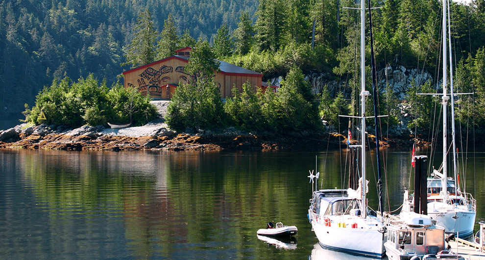
man on boat near beautiful lakehouse

Great Bear Circle Route

7 to 10 days, 2116.08 km (1314.87 mi)

This scenic adventure includes coastal villages, hiking amid volcanic mountains, fishing well-stocked lakes and discovering the Gold Rush Trail.

Share  Facebook Twitter pinterest logoPinterest

Part 1

Ferry to Vancouver Island

In Tsawwassen, south of Vancouver, board BC Ferries to set off on the coastal leg of your journey. In Victoria, take time to admire the city’s gardens, parks, museums and beaches before driving north to see the world’s largest outdoor art gallery – 40 painted murals in the seaside community of Chemainus. Or venture off to the surrounding area and visit one of the many welcoming wineries and vineyards.
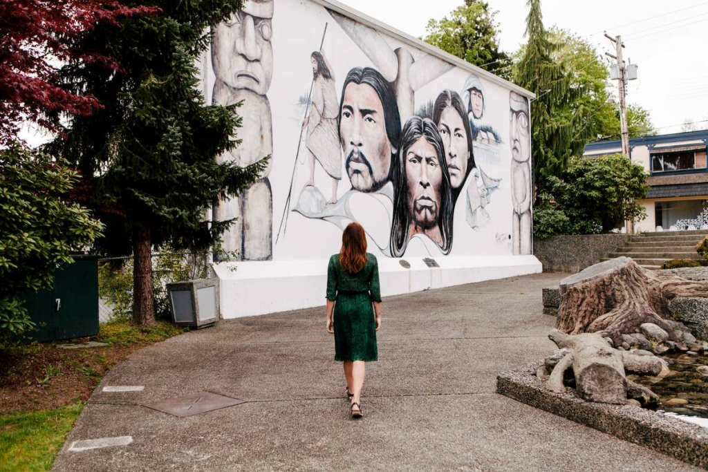
A woman walks over to an outdoor mural of Indigenous People in Chemainus,

Chemainus | Tourism Vancouver Island/Ben Giesbrecht

In Nanaimo, take a heritage tour and stroll along the waterfront or head to Newcastle Island Marine Provincial Park where a shoreline of sandstone cliffs, complete with caves and caverns, awaits your exploration.
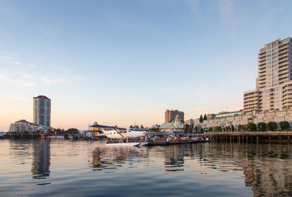
Otter seaplane at the Harbour Air Seaplanes dock in Nanaimo.

Harbour Air Seaplanes


Continue north towards Port Alberni.

Part 2

Side Trip to the West Coast

A side trip across the island on Highway 4 to Port Alberni offers a variety of discoveries. Wind your way through the ancient Douglas fir trees of Cathedral Grove in MacMillan Provincial Park, or head west and stay at a wilderness lodge in the seaside villages of Ucluelet or Tofino. While there, experience remote Hot Springs Cove (only accessible by boat or plane), and leave your footprints on Long Beach, the longest stretch of surf-swept sand on Vancouver Island’s west coast.

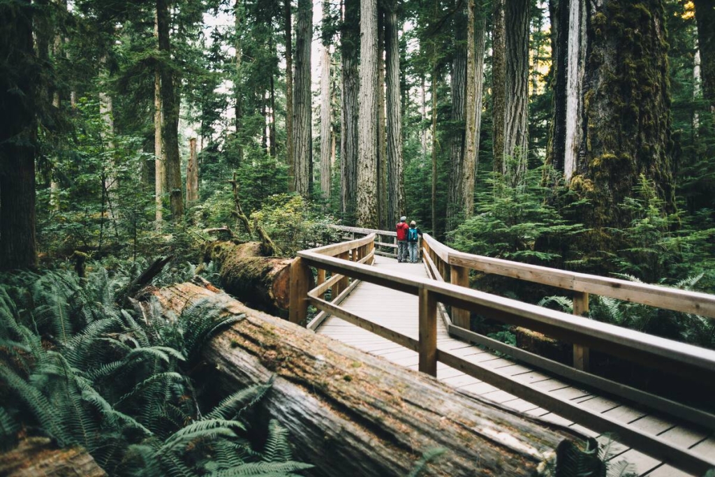
Two people walk along the boardwalk at Cathedral Grove

Cathedral Grove | Graeme Owsianski


Return along Highway 4 to head north on Highway 19A, and relax on the sandy beaches of Parksville – ideal for warm, saltwater swimming – and the stunning shoreline of Qualicum Beach. Continuing north, cast a line in Campbell River, the Salmon Capital of the World; the fishing and scenery are spectacular. Stop in Telegraph Cove, a village raised on stilts, and join a whale watching tour.

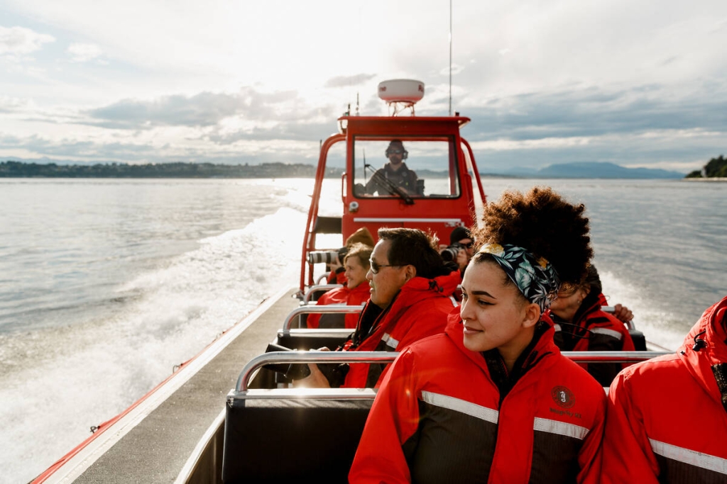
People wearing red jackets are in a whale watching boat on the water.

Campbell River Whale Watching Tours | Destination Campbell River/Bluetree Photography

Part 3

Ferries to Bella Coola

From Port Hardy, board BC Ferries Discovery Coast Connector for the two-stage journey to Bella Coola. Catch a connecting ferry in Bella Bella for the final voyage to Bella Coola; stops along the way may include Shearwater, Klemtu and Ocean Falls. As you ferry north, keep your eyes on the ocean to see whales blowing up spray or sea lions sunning themselves on the small islets and along the rocky shoreline.

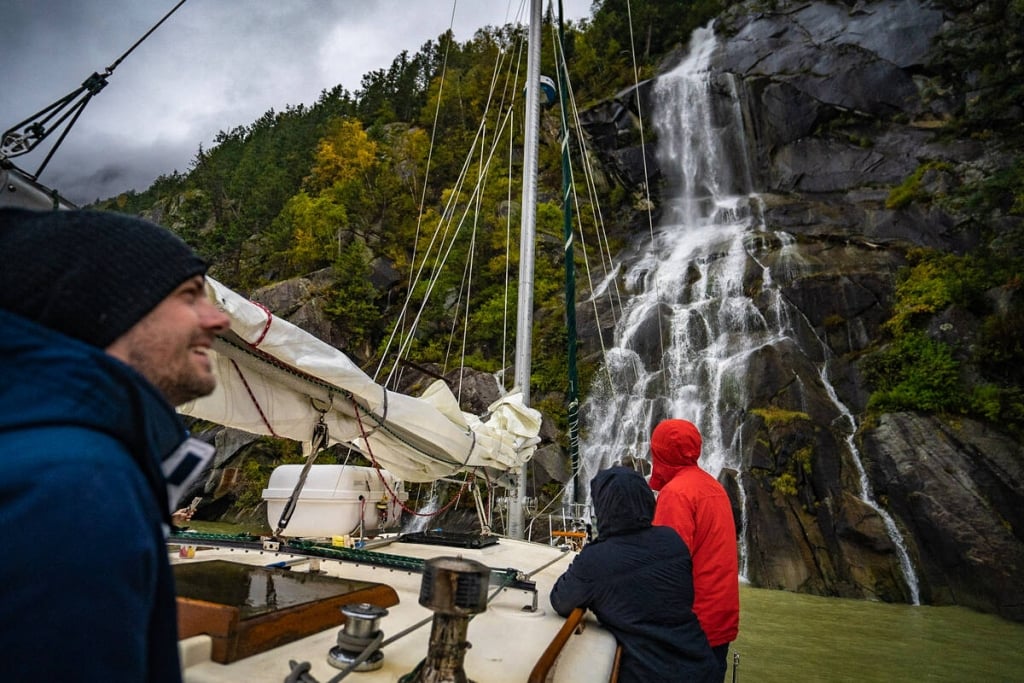
Three people on a sail boat looking up at a waterfall on an overcast day.

Great Bear Sailing Adventures | Cariboo Chilcotin Coast/Jonny Bierman

Part 4

Bella Coola through Tweedsmuir Provincial Park

Drive the celebrated “Freedom Highway” (Hwy 20), named for the determined locals who built the road from Bella Coola to Anahim Lakeon the Chilcotin Plateau. The highway climbs a steep, exhilarating switch-backed route—known locally as “The Hill”—to an elevation of 1,524m/5,000ft. (Note: this road is mostly paved, but there is also a well-maintained gravel section; suitable for all vehicles.) Head from Bella Coola past the rugged Coast Mountains to Tweedsmuir Provincial Park. BC’s largest park spans 981,000 hectares/2,452,500 acres, and enchants visitors with volcanic “Rainbow Mountains,” flowering meadows, waterfalls and glacial-capped peaks.


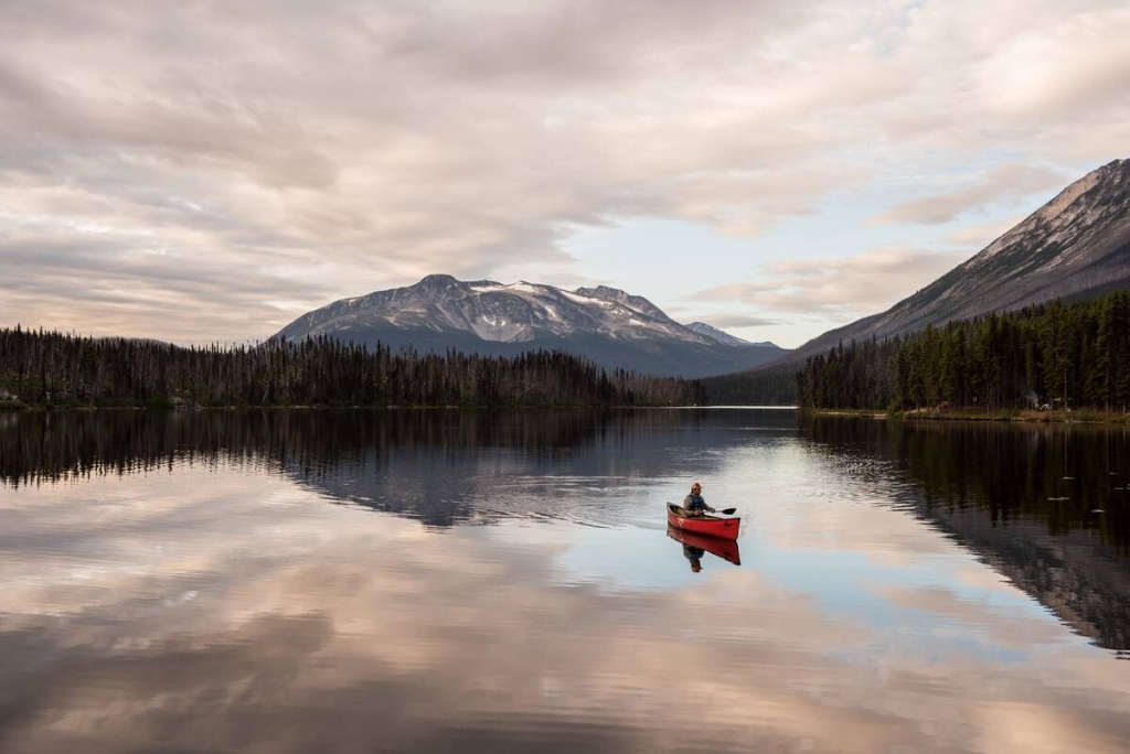
A person paddles in a red canoe on a still lake at sunset in Tweedsmuir Provincial Park

Turner Lake, South Tweedsmuir Provincial Park | Kari Medig

Fly fishing for trout, camping, hiking, canoeing and horseback riding are all popular activities here. Look for mountain goats, caribou, black bears, moose and countless bird species. Charter a floatplane to fly over Turner Lake and view one of North America’s highest waterfalls – Hunlen Falls plunges 253m/850ft over a sheer rock face.

Part 5

Lakes and Hoodoos

Drive from Tatla Lake to Chilko Lake, along a gravel road for 80 km/45 mi. Go angling for trophy-sized rainbow and bull trout in the turquoise waters of Chilko Lake, the largest, natural, high-elevation freshwater lake in North America.

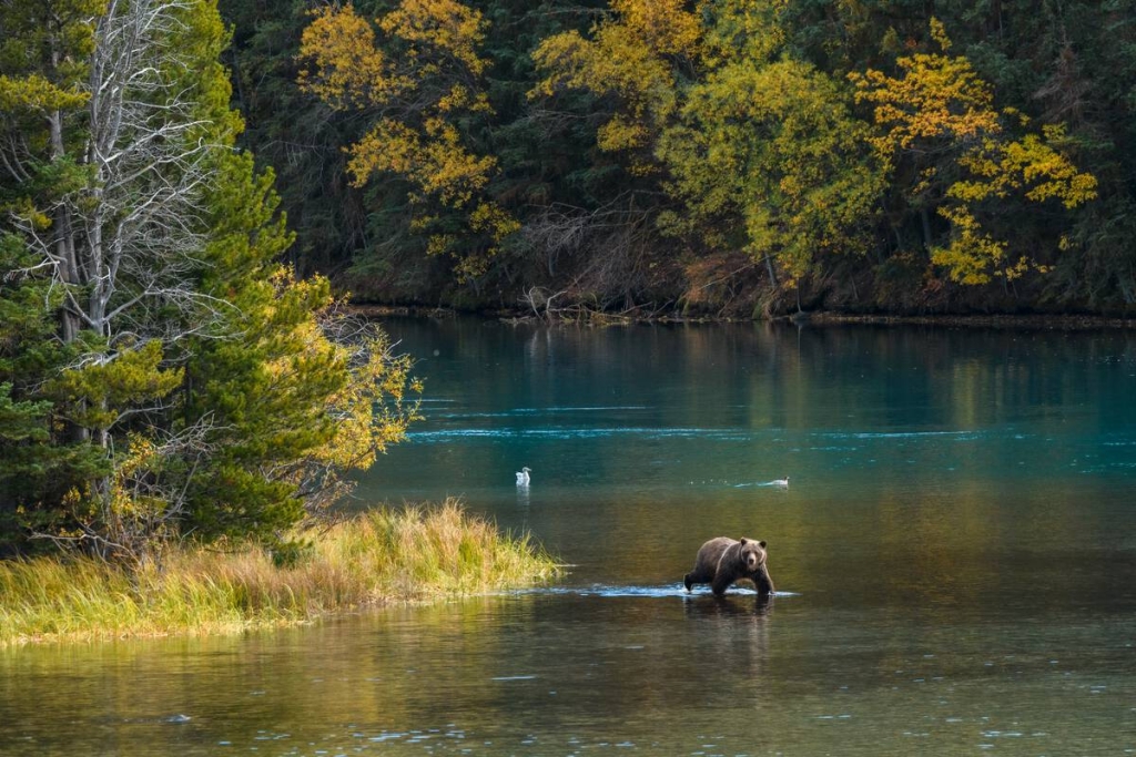
A grizzly bear on the Chilko River.

Chilko River | Yuri Choufour

Stop near Alexis Creek, named after Chief Alexis of the Chilcotin tribe, at Bull Canyon and Battle Rock. Here, the Chilcotin defended their lands in fierce battles with the Shuswap and Bella Coola First Nations. From Riske Creek, detour along Farwell Canyon Road (a well maintained gravel road) to see hoodoos at Farwell Canyon and Junction Sheep Range Provincial Park, which is home to more than 500 free-roaming bighorn sheep.

Part 6

Williams Lake to Clinton

Heading east again on Hwy 20, you’ll find Williams Lake amid rolling ranchlands. Visit the Museum of the Cariboo Chilcotin and the BC Cowboy Hall of Fame for a dose of cowboy culture. Williams Lake is also a great spot for mountain biking and a launching point for rafting trips on the Chilcotin, Chilko and Fraser rivers. Drive south on the old Cariboo Wagon Road, Hwy 97, to 100 Mile House and see an original stagecoach.

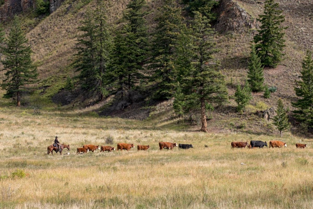
A line of horses hearing cows across an open field.

Churn Creek Protected Area | Michael Bednar

Continue beyond to Clinton, where you can jump in the saddle for a real cowboy experience at one of the area’s many guest ranches. Along with delicious home-style cooking and western hospitality, you can ride the range and round up cattle. Or explore the countryside while fishing, hiking, canoeing and river rafting. And remember, from May to September rodeo events in this region are as common as cattle.

Part 7

Pemberton to Whistler

Head south towards Pemberton and stop to hike along thickly forested trails that lead to views of hanging glaciers and turquoise-coloured lakes. Complete the circle tour via the spectacular Sea-to-Sky Highway (Hwy 99).

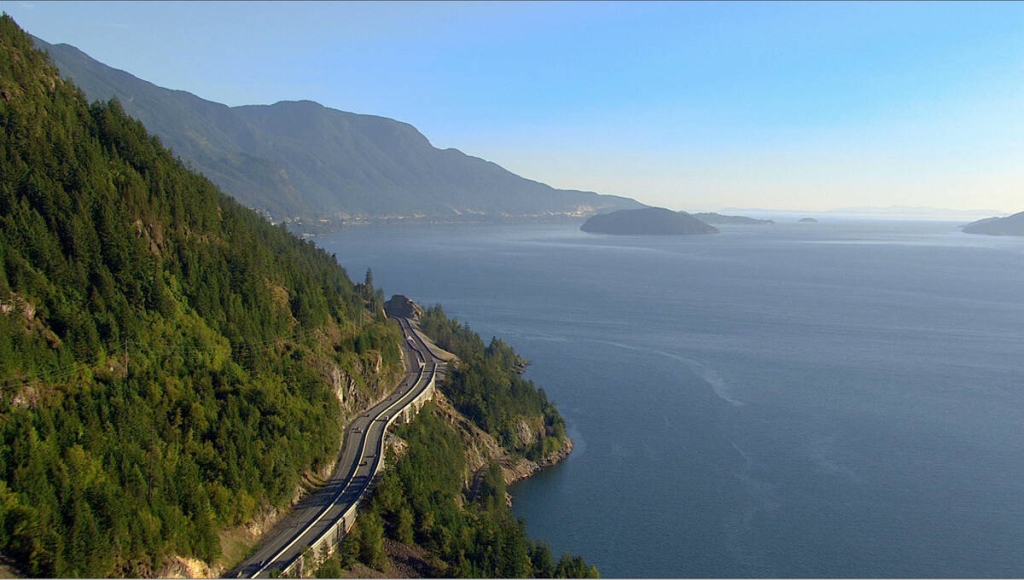
Cars driving the Sea to Sky Highway between Vancouver and Whistler with ocean and mountains in the background.

Sea-to-Sky Highway between Vancouver and Whistler | Destination BC

Part 8

Whistler to Vancouver

From the mountain encircled village of Whistler, travel through narrow valleys with mountain glaciers visible in the distance alongside Howe Sound.

The Sea-to-Sky Highway turns a final corner and the mountains give way to a spectacular view of Vancouver—arguably one of the most beautiful cities in the world.

Last updated: March, 2023

Driving Directions

Part 1 - Vancouver
  • 6.25 km
  • 12 min
Show Map & Driving Directions

Plan Your Adventure Now

Need to Know

Find key travel information to plan your BC vacation.

Travel Info
Adventure Smart

Always check trail conditions before you head out, and no matter what outdoor activity you are planning, be prepared.

Plan Your Route
Plan Your Route

Check Drive BC for the latest information on road closures around the province.

Check Conditions
Travel Responsibly

Follow these tips to travel safely and responsibly in BC this season.

See the Tips
Places to Stay

Discover everything from luxury hotels and B&Bs to wilderness lodges and campsites.

Find Accommodation
Loading, please wait...
AI Chatbot is in-training and can make mistakes. Consider checking important information.
Terms and Conditions