Maps
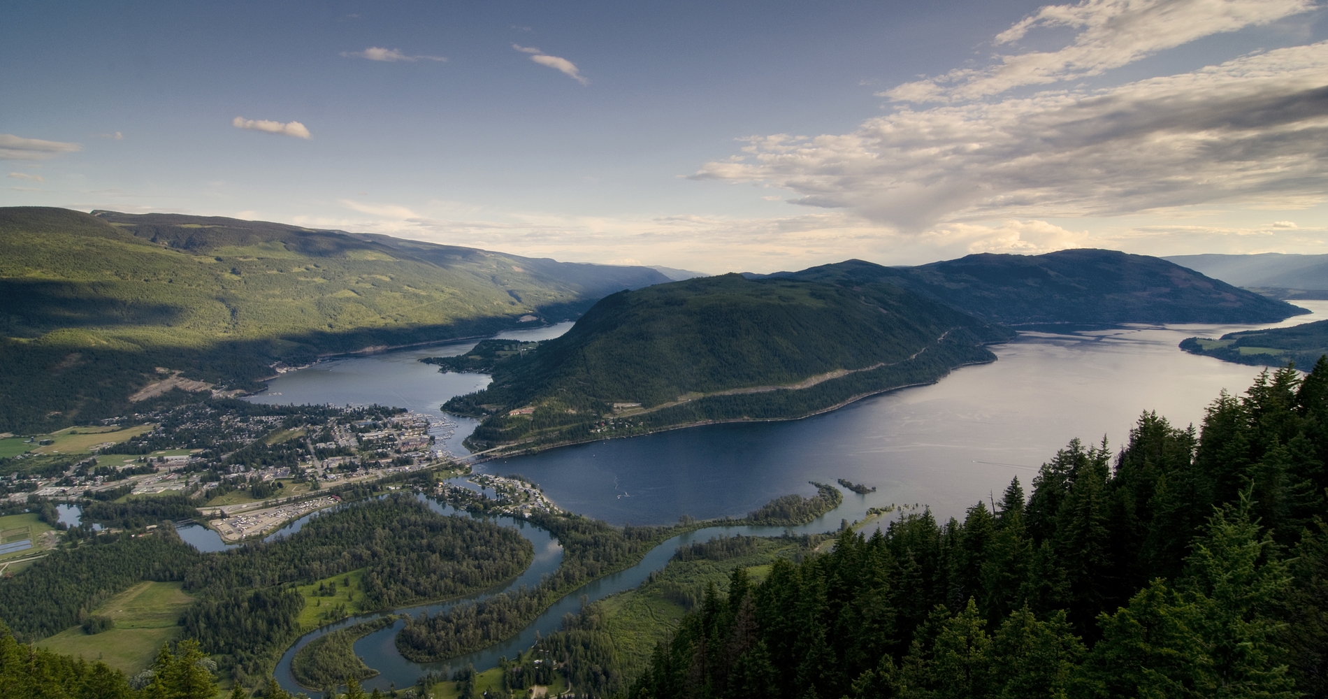
View from Sicamous Lookout|

Shuswap Loop

1 to 3 days, 164.37 km (102.13 mi)

Soak up the sun on the lakeshores of the Shuswap. Jump into warm waters off the deck of a houseboat or kick back, and enjoy the sweet sounds of local musicians.

Share  Facebook Twitter pinterest logoPinterest

The Shuswap is a place for outdoor play and relaxation, all centred around a vast lake that offers a little bit of everything: Indigenous culture, water activities, lively eateries, and lakeside lounging. Explore this expansive body of water (and the communities along its shores), as you swim, SUP, savour, and sip your way along the Shuswap Loop.

Part 1

Tsútswecw Provincial Park

The Shuswap region is on the traditional territories of the Secwepemc people, who have called the area home since time immemorial. Begin your journey with a visit to Tsútswecw Provincial Park (formerly Roderick Haig-Brown Provincial Park), which protects archeological discoveries, including Indigenous artifacts, pictographs, and pit house sites (kekulis).

The park, which means “many rivers,” is home to the Adams River Sockeye Salmon Run, one of the largest in North America. In October, you can view the returning salmon (millions during dominant years). The park is also home to a 26 km (16 mi) trail system that is ideal for hiking or mountain biking in the summer.

To get there, take the Squilax-Anglemont Road turnoff as you head up Highway 1 toward Sorrento to Tsútswecw Provincial Park.

Adams River | Chun Lee

Adams River | Chun Lee

Part 2

Shuswap Lake

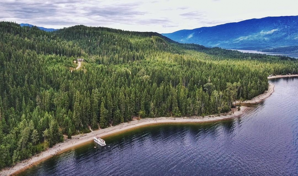
Aerial views of Shuswap Lake

Aerial views of Shuswap Lake | @apreswheeler

Anchoring the Shuswap is approximately 600 km (373 mi) of flawless shoreline around Shuswap Lake. Consisting of four arms, the lake looks like the letter “H” and provides pristine waterways for outdoor recreation. Houseboating is a quintessential Shuswap experience, allowing unparalleled freedom on the warm waters and there is much to explore as you journey over the vast lake. The paddling here is also prime and there are plenty of rental outfits to get you set up with stand-up paddleboards, kayaks, boats, or canoes. If you happen to scuba dive, you can see all sorts of interesting things in the depths of the lake, including ship wrecks and the salmon run (if you come in the fall).

There’s plenty to do on shore as well. At the south end of the lake, you’ll find a number of beach resorts, with plenty to discover, including eateries, museums, galleries, and parks. Don’t miss the Sorrento Farmer’s Market on Saturdays and the Recline Ridge Winery (open year-round). Before making your way to Salmon Arm replenish with fresh local produce along the Shuswap Farmstand Trail where you’ll find everything from jams, pickles, local honey, seasonal fruits and vegetables and delectable baked treats.

Part 3

Salmon Arm

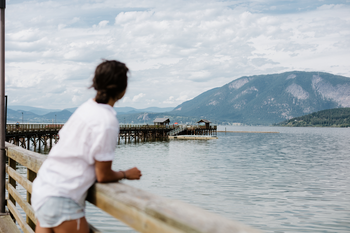
Salmon Arm Wharf

Salmon Arm Wharf | @miraecampbell

Head northeast on Highway 1 toward Sorrento before curving around the lake down into Salmon Arm. Take a scenic sunset walk along the Salmon Arm Wharf, the longest inland wooden curved wharf in Canada, for unrivalled views of the bird sanctuary and ecological reserve. If you have time, stroll through Herald Provincial Park for an enchanting forest experience, or head for a swim and picnic at Canoe Beach.

Part 4

Sicamous

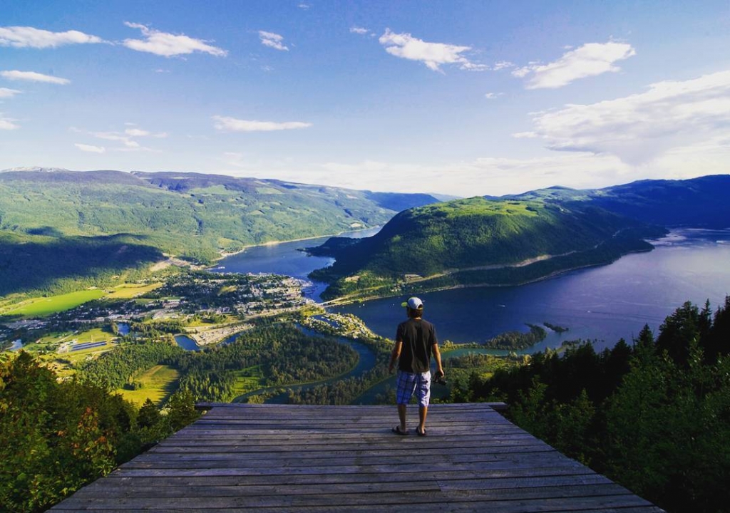
View from the Sicamous Lookout

View from the Sicamous Lookout | @discoverroute97

Continue east on Highway 1 to head north toward Sicamous. The town is known as the Houseboat Capital of Canada and is a popular summer vacation destination. The ample beachfront offers opportunity to relax in the sun or to cool off in the lake. Hikers and mountain bikers will find many trails to explore in the Monashee Mountains. Come winter, snowmobilers frequent the area.

Bring your own boat (or rent one), and head out to the Shark Shack floating restaurant with stellar views of Shuswap Lake. Moose Mulligans Public Eatery, is a popular eatery serving up pub fare and waterfront views. Provided you have a designated driver, you can also visit the After Dark Distillery, home of the Monashee Mountain Moonshine (call ahead to book a tour).

Travelling this route? Share your experiences with #exploreBC.

Last updated: May 20, 2020

Driving Directions

Part 1 - Vancouver
  • 6.25 km
  • 12 min
Show Map & Driving Directions

Start Planning

Know Before You Go

Find the latest travel updates for BC.

Learn More
Book Your Trip

Find accommodations, experience providers, and special offers.

Book Now
BC Parks

The official information source for BC's provincial parks and campgrounds.

Learn More
AdventureSmart

Learn the three Ts—trip planning, training, and taking the essentials—and apply them to all your outdoor adventures.

Learn More
Drive BC

Get current road conditions and everything you need before you set off on your BC road trip.

Learn More
Ways to Save

Find partner offers and travel deals to save on your next BC getaway.

Learn More
#explorebc

See what's happening now with these recent posts.

Loading, please wait...
AI Chatbot is in-training and can make mistakes. Consider checking important information.
Terms and Conditions