Maps

From the Bottom to the Top of BC

Share  Facebook Twitter pinterest logoPinterest

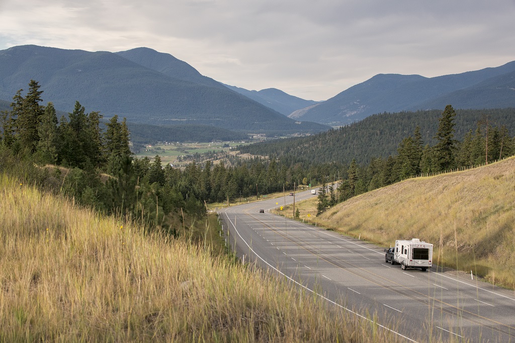
Did you know that in BC, Highway 97 stretches from the United States border all the way up to the Yukon? Travelling this route takes you through sunny Okanagan towns, follows the historic Gold Rush Trail, and then becomes the epic Alaska Highway. Choose to explore one of these sections, or take the ultimate road trip from the bottom to the top of BC.

Naramata

Follow Highway 97 through the Okanagan


An illustrated map with a blue line indicating the route between Kamloops and Osoyoos.

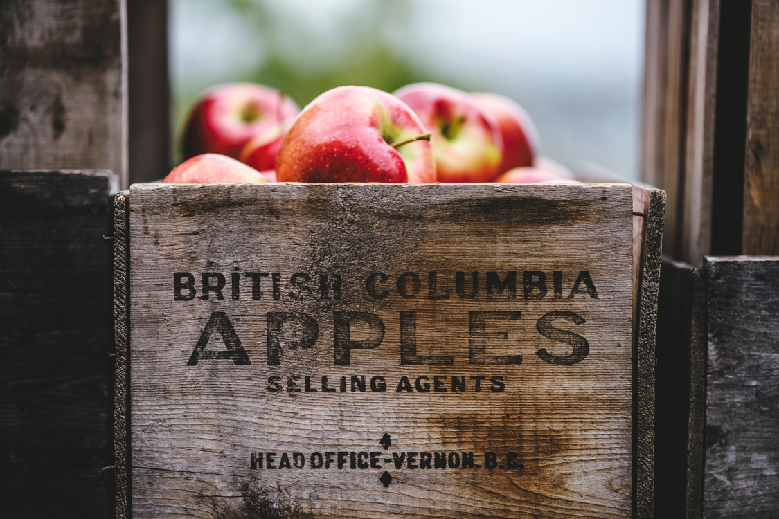
BC’s Okanagan is known for its picturesque vineyards and award-winning wines, abundant orchards with road-side fruit stands, lakeside towns, and for being where Vancouverites road-trip to get away from the city.

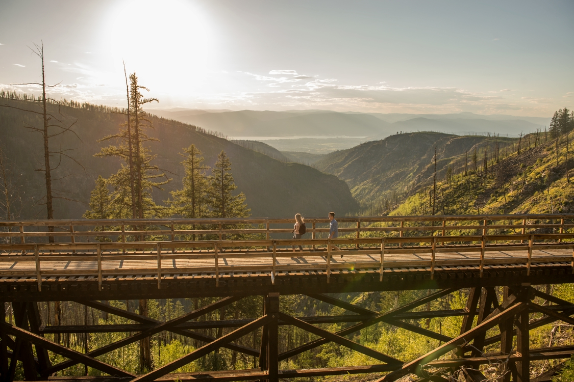
There’s also the Kettle Valley Rail Trail—decommissioned tracks that are now home to an extensive recreational trail. Explore the trail in Naramata by bicycle, with views of Lake Okanagan on one side and lush vineyards on the other, or explore the trail’s trestle bridges and tunnels via Kelowna’s Myra Canyon.

Places to visit: Osoyoos, Oliver, Okanagan Falls, Penticton, Naramata, Summerland, Kelowna, Vernon, Kamloops.

Distance: Osoyoos to Kamloops is about 280 km (180 mi) and takes about 3 hours to drive. It’s ideal for an extended weekend trip, but there’s enough to warrant a week or more to explore.

Okanagan Corridor
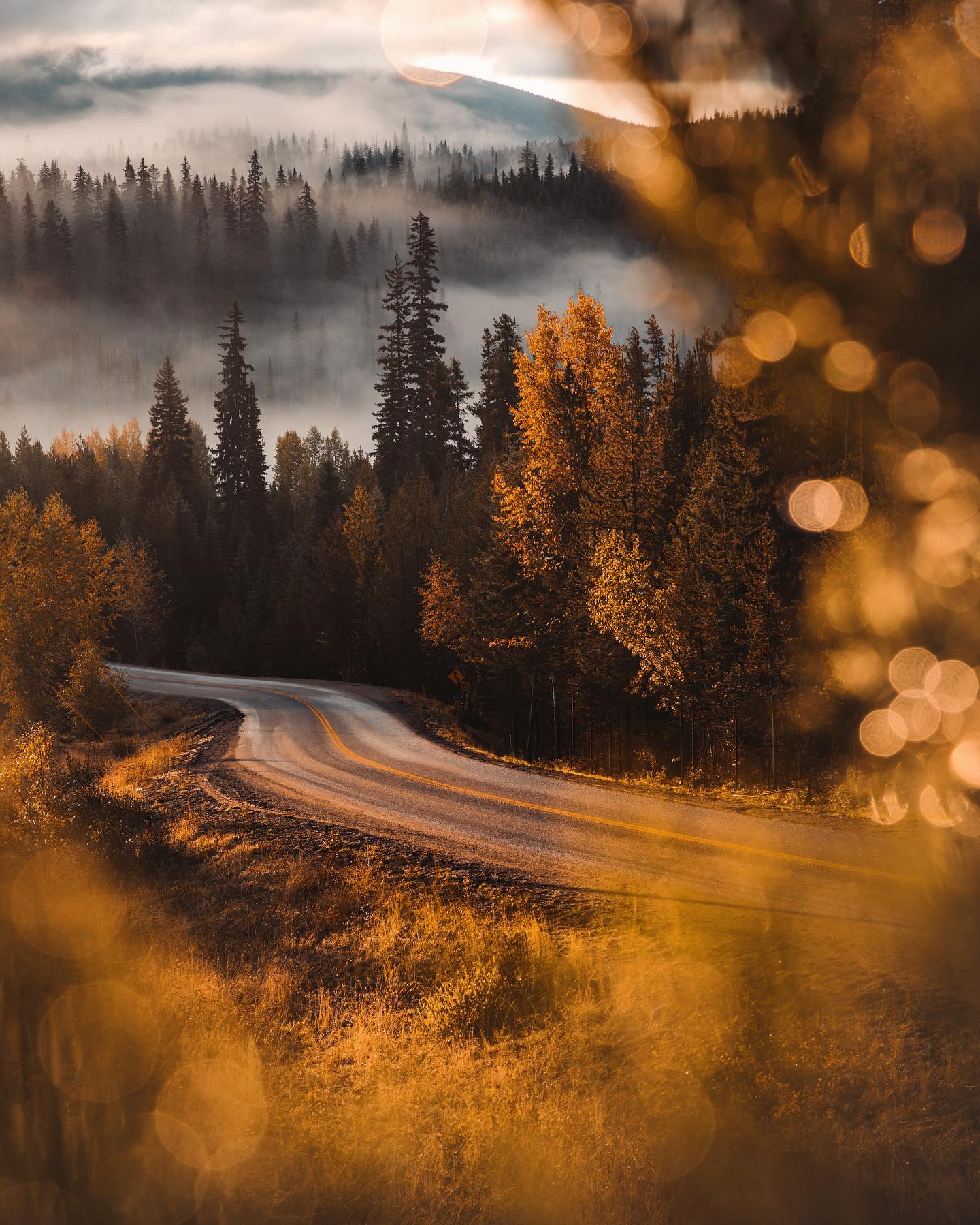
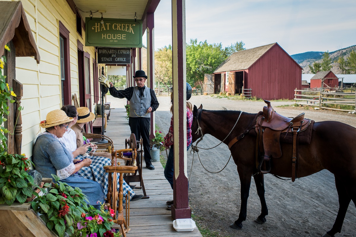
Barkerville | Rob Lloyd

Continue to some of the Historic Gold Rush Trail

Illustrated map with a blue line indicating the route between Prince George and Kamloops.

BC’s Gold Rush began in 1858 and followed the Fraser—BC’s longest river. Now, the Gold Rush Trail is a popular road-trip route for people looking for a mix of history and outdoor adventure.

Places to visit: Cache Creek, Clinton, 100 Mile House, Lac La Hache, Williams Lake, Quesnel, Prince George, Huble Homestead, Barkerville, Wells, Likely, Horsefly.

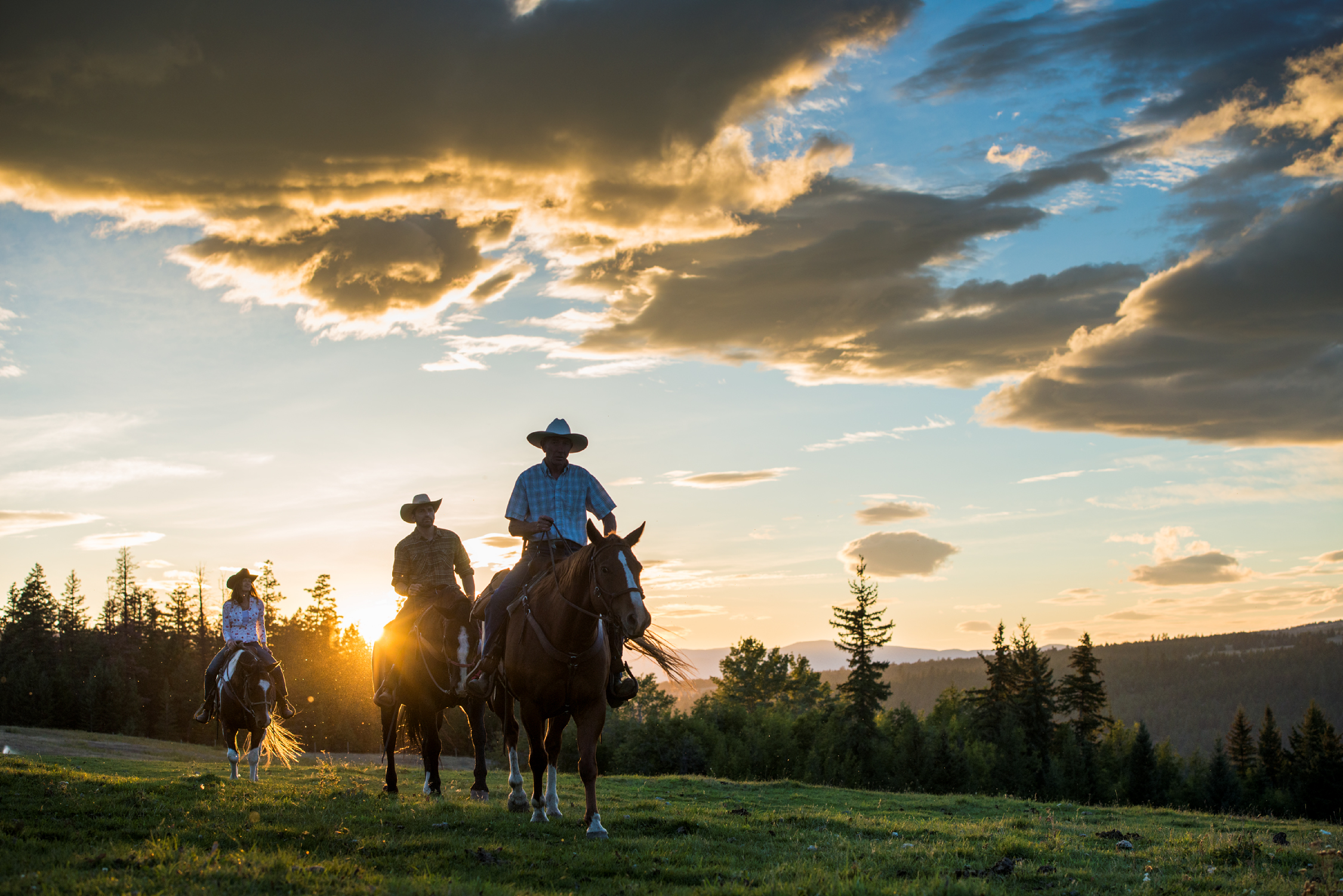
Distance: Following Highway 97 from Kamloops to Prince George is about 525 km (325 mi) and takes about six hours to drive. Give yourself a week to stop and explore the historic sites and maybe even stay a few days at a guest ranch.

Historic Gold Rush Trail
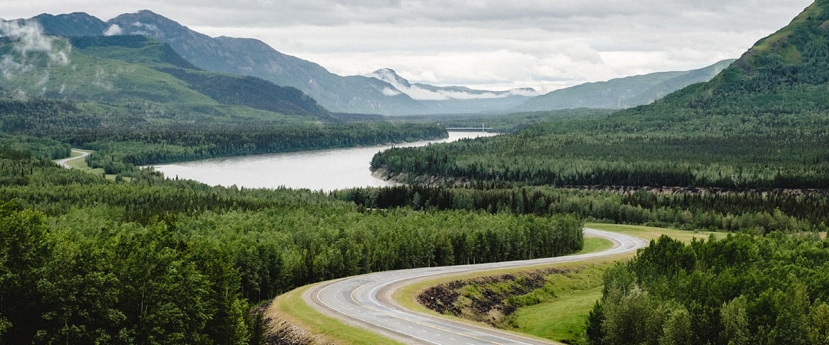
The Alaska Highway through the northern Rocky Mountains | Andrew Strain

Adventure North along the Alaska Highway

An illustrated map with a blue line indicating the route between Watson Lake and Prince George.

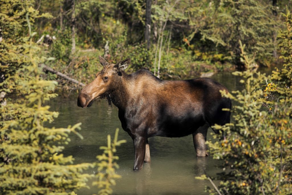
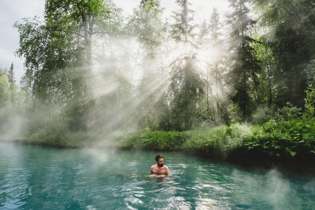
A journey on the Alaska Highway through the untamed wilderness of BC’s north is a bucket-list road trip. History, adventure, hot springs, wildlife, and nature all add up to an experience you’ll tell stories about for a lifetime.

Places to visit: Chetwynd, Dawson Creek, Fort Nelson, Fort St. John, Hudson’s hope, Pouce Coupe, Taylor, Tumbler Ridge, Muncho Lake, Liard River Hot Springs, Kiskatinaw Bridge.

Distance: Prince George to Dawson Creek is 400 km (250 mi), but allow time to visit Kinuseo Falls and the Geopark in Tumbler Ridge (about an hour from Chetwynd on Highway 29). Once in Dawson Creek, Highway 97 is also the Alaska Highway. The journey from Dawson Creek to Watson Lake in the Yukon is approximately 960 km (600 mi). That’s about 16 hours of driving, but plan for a week or two to explore this historic route.

Alaska Highway Route

Start Planning

Know Before You Go

Find the latest travel updates for BC.

Learn More
Book Your Trip

Find accommodations, experience providers, and special offers.

Book Now
BC Parks

The official information source for BC's provincial parks and campgrounds.

Learn More
AdventureSmart

Learn the three Ts—trip planning, training, and taking the essentials—and apply them to all your outdoor adventures.

Learn More
Drive BC

Get current road conditions and everything you need before you set off on your BC road trip.

Learn More
Ways to Save

Find partner offers and travel deals to save on your next BC getaway.

Learn More
Loading, please wait...
AI Chatbot is in-training and can make mistakes. Consider checking important information.
Terms and Conditions