Maps

Lakes & Trails Circle Route

7 to 10 days, 1047.59 km (650.94 mi)

Be immersed on a journey leading to stunning lakes, rivers and waterways. Travel across rolling ranchlands, rich valleys and pristine wilderness.

Share  Facebook Twitter pinterest logoPinterest

Part 1

100 Mile House to Williams Lake

Begin the tour at 93 Mile on Cariboo Highway 97, which runs north across the lake-studded Fraser Plateau to Prince George. Drive the original Gold Rush Trail, which was once the path of fortune-seeking prospectors on the Cariboo Wagon Road. At 100 Mile House, see the only surviving stagecoach of the Barnard Express and Stage Line. The area’s riches also include abundant wildlife, ancient mountains, lush valleys, clear lakes and pristine rivers.

West of 100 Mile House is Moose Valley Provincial Park, renowned for its wildlife viewing, hiking, bird watching and 12-lake canoe chain. Caution: this access road requires 4-wheel drive or high-clearance vehicles. Take a two-day canoe trip along this glorious chain or paddle part of the route in a day. To the north is Williams Lake, which is set amid rolling ranchland and hosts the famous four-day Williams Lake Stampede in July.

Long before gold-hungry miners arrived in this area, the Shuswap Nation occupied the benchlands north of Williams Lake for more than 5,000 years. Visit the Xat’sull Heritage Village in Soda Creek to see ancient petroglyphs, sit in a sweat lodge and get a taste of the traditional Shuswap way of life.

Part 2

Williams Lake to Barkerville and Prince George

Upriver from Soda Creek, the Quesnel Museum and Archives houses thousands of artifacts from pioneering life and one of the most significant collections of rare Chinese artifacts in North America.
Travel northeast on Highway 26 to the artisan community of Wells. Events and concerts wake up this small community throughout the summer. Head east to Barkerville Historic Town; this restored gold rush town has costumed interpreters depicting life in the 1800s.

Continue on to explore Bowron Lake Provincial Park. If you’re feeling energetic, set off on a 116km/72mi 6- to 10-day canoe circuit that traverses beautiful lakes, rivers and streams.

Backtrack on Highway 26 then drive north on Highway 97 to reach the vibrant city of Prince George.

Part 3

Prince George to McBride

An all-season playground, Prince George has more than 120 parks and 1,600 nearby lakes and rivers offering endless opportunities for fishing, boating, hiking, wildlife viewing and camping.

Discovery is the theme at the Exploration Place Museum and Science Centre in Fort George Park. Cultural, scientific and natural history become hands-on experiences. Head to Forests for the World for great views of the city and then visit the vintage railway collections at the Prince George Railway & Forestry Museum.

Take Yellowhead Highway 16 east to the scenic community of McBride, which is nestled in Mount Robson Valley.

Part 4

McBride to Mount Robson and Valemount

The exceptional scenery around McBride draws hikers, anglers and whitewater enthusiasts. Catch a glimpse of some of the 200 bird species recorded in the area at the Horseshoe Lake bird viewing station. Enjoy an easy walk around this thriving artist community or try heli-hiking, heli-skiing or snowmobiling.

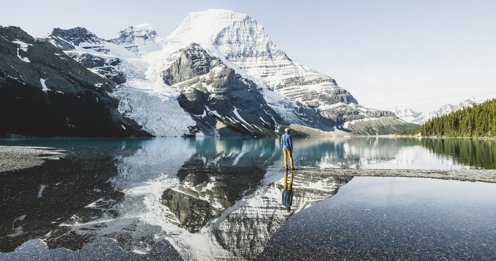
Just a 45-minute drive from McBride is Mount Robson Provincial Park. Named after the highest peak in the Canadian Rockies – a jagged, snowy pinnacle rising 3,954m/12,972ft above largely undisturbed wilderness – the park also houses the headwaters of the Fraser River and the massive Berg Glacier. Hike the extensive trail systems leading past lakes, glaciers, waterfalls and through dense forest.

Nearby, the friendly town of Valemount reveals a valley for all seasons. Relax by canoeing the meandering streams, hiking the valley or taking a guided nature tour. Don’t miss the wildlife and bird watching at Robert W. Starratt Wildlife Sanctuary, a 202-ha/500-ac waterfowl habitat just minutes from town. Late summer brings the one of the world’s longest salmon migrations to the spawning grounds of Swift Creek in nearby George Hicks Regional Park.

Part 5

Clearwater and Wells Gray Provincial Park

From Valemount, head south on Highway 5 through the North Thompson River Valley and stop in Blue River. This pristine area is surrounded by lakes, rivers and forests. Enjoy fishing, canoeing, camping and bird watching in nearby Blue River Black Spruce Provincial Park.

Further south, Clearwater is your gateway to Wells Gray Provincial Park. A number of major lakes, streams, waterfalls and rapids converge in the park. Dip into the clear waters or hike through alpine meadows to Helmcken Falls Rim Trail, which follows the rim of one of Canada’s highest waterfalls.

The area’s first inhabitants were the Shuswap and Chilcotin Aboriginal peoples. Some 35 archaeological sites throughout the park uncover evidence of these ancient Aboriginal cultures.

Continue on to Little Fort at the junction of Highway 24 and Highway 5 to enjoy some of North America’s best fly-fishing – on your own or with a resort guide.

Part 6

Interlakes and the "Fishing Highway"

At 93 Mile, turn east on Highway 24, better known as the “Fishing Highway,” to make your way through the Interlakes community. This famous road, stretching from here to Little Fort, is your access to more than 100 fishing lakes. Stop to fly fish or troll for trout, burbot and kokanee. Paddle some of the smaller pristine lakes, enjoy wildlife viewing or set off on a backcountry trail ride at one of the area’s many guest ranches.

Turn south at Little Fort and head to Kamloops.

Part 7

Historic Ranching Country

Travel south at Little Fort and head to Kamloops, home of the annual Kamloops Pro Rodeo. The area’s rivers, lakes, mountains and grasslands will leave an indelible impression. Stay at any of many resorts in the region, from the four-season Sun Peaks Resort to fly-fishing lodges, remote cabins and luxury retreats. Some resorts cater to the entire family, while others provide pampering, solitude, spa services and gourmet dining for special getaways.

Cache Creek and Historic Hat Creek Ranch are due west along Highway 1. Tour the restored roadhouse, general store, blacksmith’s shop and stroll the ranch grounds to spot the old red stagecoach. Nearby, visit the Shuswap Nation village display site to get a rare look at a circular pit house known as a “kekuli.”

Take a quick detour south to historic Ashcroft; it‘s surrounded by rolling ranch country, tumbleweed and sagebrush, and evokes memories of the old west and pioneering days. At the Ashcroft Museum and Archives, discover the region’s pioneer history as well as the history of the first inhabitants – the Nlaka’pamux, Sce’exmx and Okanagan peoples.

Head north on Highway 97 to Clinton where you can enjoy a real cowboy experience at one of the area’s many guest ranches. Continue north to make your return trip to 93 Mile.

Last updated: May 20, 2020

Driving Directions

Part 1 - Vancouver
  • 6.25 km
  • 12 min
Show Map & Driving Directions

Mentioned in this Itinerary

Plan Your Adventure Now

Need to Know

Find key travel information to plan your BC vacation.

Travel Info
Adventure Smart

Always check trail conditions before you head out, and no matter what outdoor activity you are planning, be prepared.

Plan Your Route
Plan Your Route

Check Drive BC for the latest information on road closures around the province.

Check Conditions
Travel Responsibly

Follow these tips to travel safely and responsibly in BC this season.

See the Tips
Places to Stay

Discover everything from luxury hotels and B&Bs to wilderness lodges and campsites.

Find Accommodation
#explorebc

See what's happening now with these recent posts.

Loading, please wait...
AI Chatbot is in-training and can make mistakes. Consider checking important information.
Terms and Conditions